Cartography of the Mind – Navigation for Novices
In my previous post I talked about Maps and Territories and I mentioned how maps can sometimes put constraints our ability to stay mobile and flexible and therefore create “problems” and “conflict” in our lives.
They limit our Choices.
Problems arise mainly from the discord between our internal maps and the territory they represent. The maps we have are no longer useful because they won’t allow us to travel effectively and accurately to where we want to be.
I think we have 3 types of Mapping problems.
1. Inaccurate Maps
All maps suffer from inaccuracies. Maps are being constantly updated as the environment changes. As culture changes and as ideas and beliefs change. Roads are being built, re surfaced or closed down. New buildings and structures come and go and even the routes of rivers suffer change. No one can ever have the final map.
It just doesn’t exist.
It can’t.
Our maps are subject to Generalisations, Deletions and Distortions. Constantly.
This however doesn’t mean that the maps are useless. They can be very useful, providing you know their limitations. Sometime deletions distortions and generalisations are very useful and can serve a noble purpose. That is a subject I will cover in another post soon.
2. Inadequate Maps
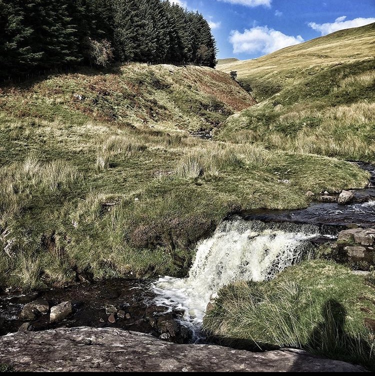
I remember one time meeting up with a group of guys in the Brecon Beacons and the job was to teach them map reading. They all dutifully got out their shiny new compasses and pristine maps and laid them on the damp ground. After a while a few of them were looking decidedly confused as I explained some features that their maps represented. After a few minutes I quickly realized that two of them had the wrong map! They had an outdated map from the 70s and this was now 2008… They argued that it would be OK and it took me some time to show them that the features on the ground were not clear on the map… Things had changed with the boundaries of the local forests. Forests that were no longer there! Because of logging. They had built a new bridge where once before a ford had been. Some sizeable differences. They quickly picked up on how important it was to check their sources.
It’s true to say that many of our problems stem from the fact that we are trying to navigate with missing data and are using an old A to Z street map when we need the latest edition.
3. Distorted Maps
Sometimes maps are just simply wrong.
Important detail has been left out and have no scale by which you can judge distance. You won’t know how long it’s going to take you to get from A to B if you don’t know and understand how scale functions on your map. How will you know where you are on the map if you don’t know the distance you have travelled? If you don’t understand Grid references how do you even know where you are at any given moment? Other detail such as the key in the corner that tells you what the symbols mean. Is that a river or a stream? Is that a road or a small country lane and is that building 2 or 3 stories high?
Sometimes the map will not tell you how long it takes to get from one place to the other.
This is what causes many of our human anxieties and problems. We are using maps that are inadequate and populated with Generalisations, Deletions and Distortions and we need to find a way to tidy them up and recover missing information which in turn will allow us to travel in the right direction quickly and safely.
We will take a look at these in the next post. In the meantime safe journey…where ever you’re heading.